Within the varied geography of the island, its innumerable rivers stand out, which are the attraction of nature lovers.
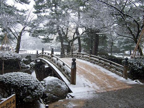
In this sense, the Almendares river , which is a 45 km tributary in the western part of Cuba. It originates from eastern Tapaste and flows north-west into the Straits of Florida. The river acts as a source of water for Havana.
Notably, there are several industrial plants line the banks of the river (paper mills, gas production plants, breweries, food production plants, construction plants). The area is becoming a green oasis with a playground, several restaurants, pedestrian paths.
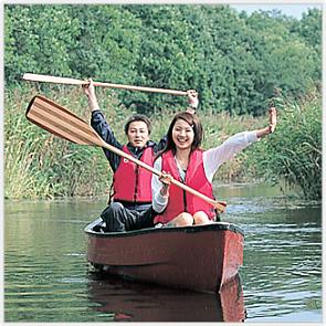
Also attractive is the Cauto river, located in the southeast of Cuba, and which is the longest river in Cuba. It flows a total length of 230 miles (370 km) from the Sierra Maestra to the west and northwest, and enters the northern Caribbean Sea from Manzanillo. However, it provides only 70 miles (110 km) of waterway transportation.
It crosses the provinces of Santiago de Cuba and Granma, and the communities of Palma Soriano, Cristo de Río Cauto and Cauto are located along the river. It is one of the two navigable rivers in Cuba. The other is called Sagua la Grande.
Finally, the Toa River, is a river located in the province of Guantánamo de Cuba. It flows through the country and is 131 kilometers long and has 72 tributaries. The Toa River is well known for its crystal clear waters.
The Toa River basin spans 1,061 square kilometers (0.410 square miles), and has an average slope of 260 meters (850 feet). It occupies about 70% of the Cuchillas del Toa Biosphere Reserve. The area around the river is home to many endemic flora and fauna, including at least 1000 species of flowers and 145 species of ferns.
There are species in danger of extinction, such as the Tocororo (which is also the national bird of Cuba) and the hawk, they are also among the fauna of this area.