La Eastern Republic of Uruguay It has 68.038 square miles of territory, ranking as the second smallest country in South America, located on the Atlantic coast to the East, bordering to the north with Brazil and to the west with Argentina.
Uruguay is located in the southern subtropical zone of the south american continent, which translates to warm and comfortable summers and mild winters, its Atlantic coastline stretches 200 miles and contains a number of stunning beaches, lakes and dunes. It has five inland rivers that flow westward ending in the Uruguay River, which in turn marks the border with Argentina.
Highest point in Uruguay is the Cathedral Hill, with a height of 1.683 meters. Three-quarters of Uruguay's surface is covered with natural grasslands, grazing a multitude of cattle, as well as five percent of the country is covered with forests, while about ten percent is used for crops. including a variety of fruits and grains.
The cities have large green areas and the lack of polluting industries, make Uruguay one of the few places in the world with almost no environmental pollution, also standing out as an area devoid of natural earthquakes.
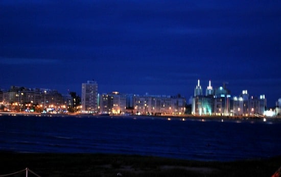
La Uruguayan population Almost fifty percent live in the vicinity of Montevideo, its capital.
Climate
El Uruguay climate it is quite temperate, frosts being practically unknown in coastal areas. During the summer months, the average temperature is between 15 and 30 degrees, the coldest month being June, while the warmest is January, the rains are distributed almost equally throughout the year, although they are infrequent in the months autumn.
Image: Flickr